Tiny Prague: an interactive isometric map of Prague
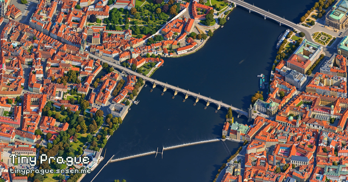
Tiny Prague is a free, stylized map of the whole city of Prague (Praha), Czechia, by Aleš Sršeň. Explore the city as one continuous illustrated scene, from Charles Bridge and Old Town Square to its outer neighborhoods, parks and forests.
What can I do on the map?
Drag to move, scroll or pinch to zoom, or use the minimap to jump across Prague. Search for streets, landmarks and places, including Charles Bridge (Karlův most), Prague Castle and Old Town Square (Staroměstské náměstí). The Transport control adds optional metro and tram lines.
Share a link to your current view or a selected place. The camera button captures an image in landscape, portrait or window framing. No account or payment is required to explore the map.
How was Tiny Prague made?
The source was a grid of overlapping orthographic images captured from Google Earth's 3D view. Eight reviewed source-and-style image pairs were used to fine-tune Qwen Image for 400 steps. The earlier trained style was chosen over a later city-builder experiment.
A fidelity-focused generation prompt helped reduce invented structures, including buildings appearing in forests. The whole-city run used MetaCentrum computing resources. Generated lossless master images were retained; a 1.30× saturation adjustment was applied in Python at export, followed by a WebP image pyramid for fast zooming.
Codex helped develop the capture tools and viewer; its image-generation tool created the reviewed training examples, control icons and Charles Bridge favicon. Antigravity was used for the panel bevels. The project was inspired by tiny.london, its making-of guide, and Isometric NYC.
Is this a live or geographically exact map?
No. This is AI-stylized artwork, not a navigation service or a live satellite map. Individual buildings and details may differ from reality. The metro and tram overlay is a dated service snapshot, not live routing, departures or disruption information.
Data, credits and privacy
- Source imagery: Google Earth. Image-provider credits are available in the map's project information panel.
- Place search: © OpenStreetMap contributors, under the ODbL.
- Metro and tram data: PID / ROPID open data, under CC BY 4.0.
- Interface font: Pixelify Sans, under the SIL Open Font License 1.1.
The viewer uses cookie-less Cloudflare Web Analytics to understand visits and page performance.
Launched November 2, 2026. Read the launch post or visit the creator's website.